

Substation and grid connection LVIA
Landscape and visual evidence for substations, overhead lines and underground cable routes
Why landscape matters for grid infrastructure
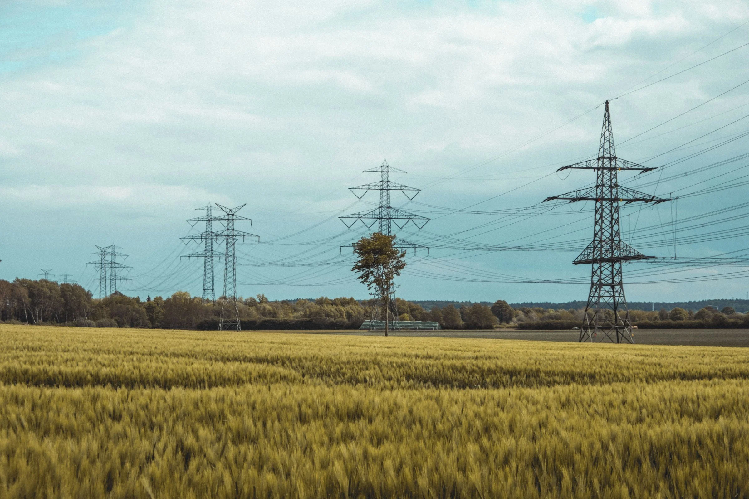
New grid infrastructure is being built at pace, and much of it runs through countryside that hasn’t seen development before. Substations, overhead lines and cable routes raise particular landscape questions, from the bulk of a substation compound to a line of pylons crossing open land.
We provide landscape and visual assessment for electrical infrastructure, from small grid connections for renewable schemes to Nationally Significant Infrastructure Projects (NSIPs).
What we look at
The scale and visibility of substation buildings, compounds and associated works
The route of overhead lines and poles across the landscape, and the effects of construction on hedgerows and trees along cable routes
Effects on designated landscapes and their settings, including National Parks, National Landscapes, National Scenic Areas and Wild Land Areas
Cumulative effects with other grid, solar and BESS development nearby
Mitigation planting and how it establishes over time
What’s included
Route and siting advice to reduce landscape and visual effects
ZTV mapping, viewpoint photography and photomontages
LVIA reports, LVAs and ES chapters
NSIP input, including Local Impact Reports and Statements of Common Ground
Landscape Management Plans for planning conditions
Why Terra Loci
We’ve worked on grid connections and NSIP-scale infrastructure, and we understand how the consenting process works, from early scoping through to examination. We can work for applicants, or support councils responding to major schemes.
Planning grid infrastructure?
Send us the route or site plan, and we’ll come back with a fee proposal within two working days.